
Lynchburg ZIP Code Coverage
Lynchburg's city GIS ZIP layer is clipped to the corporate limits. It is useful for the part of a postal area that appears inside the city, but it does not show the entire USPS delivery geography. The 2026 USPS Office of Inspector General audit identifies four primary ZIPs served by the Lynchburg Main Post Office, while the city GIS layer also contains three small edge codes. USPS label material names two more nearby or PO-box delivery contexts. Treat each code as an address-by-address starting point, especially near the city boundary.
| ZIP | Areas Covered | Post Office | Notes |
|---|---|---|---|
| 24501 | Central, downtown, Old City, and broad urban portions in city GIS | Lynchburg Main Post Office, 3300 Odd Fellows Road | Primary ZIP; city GIS boundary is clipped, not the whole delivery area. |
| 24502 | South, west, and east city context, including Wards Road and Timberlake-side addresses | Lynchburg 24502 delivery route | Primary ZIP; verify each street address with USPS. |
| 24503 | Northwest and west city, including Boonsboro, Rivermont, and North Lynchburg context | Rivermont Station, 2485 Rivermont Avenue | Primary ZIP; postal boundary extends beyond corporate limits. |
| 24504 | Downtown, courthouse, and central postal cluster | Courthouse Lynchburg, 1100 Clay Street | Primary ZIP; not a ward or a legal downtown boundary. |
| 24513 | Small city-GIS sliver | Not located in official sources | Check USPS and the parcel corporate-limit layer. |
| 24515 | Small city-GIS sliver | Not located in official sources | GIS presence does not describe a complete postal place. |
| 24551 | Small city-GIS edge area | Not located in official sources | Boundary mismatch; verify address by address. |
| 24505 | USPS label or adjacent delivery context | Not located in official sources | Not shown in the city-clipped GIS layer; do not call it a city-limit ZIP. |
| 24506 | USPS label or adjacent delivery context | Not located in official sources | Mailing use does not prove corporate-limit coverage. |
The primary four codes, 24501 through 24504, were reported as serving about 104,574 people in the USPS audit. That is a postal service-population measure, not a count of Lynchburg residents, registered voters, or people inside city limits. The ZIP code directory should keep those geographies separate.
Lynchburg's Primary ZIPs
Use the four primary codes as location clues, not as fixed neighborhood borders. A 24501 result can place an address in the Main Post Office service context and in central or Old City portions shown by the local GIS. A 24502 result can point toward south, west, or east city addressing. 24503 is associated with northwest, Boonsboro, Rivermont, and North Lynchburg context, while 24504 is used around the downtown and courthouse postal cluster. The source material does not support drawing an exact neighborhood line from any one code.
The USPS service gateway is the starting point for postal services and leads to address tools.
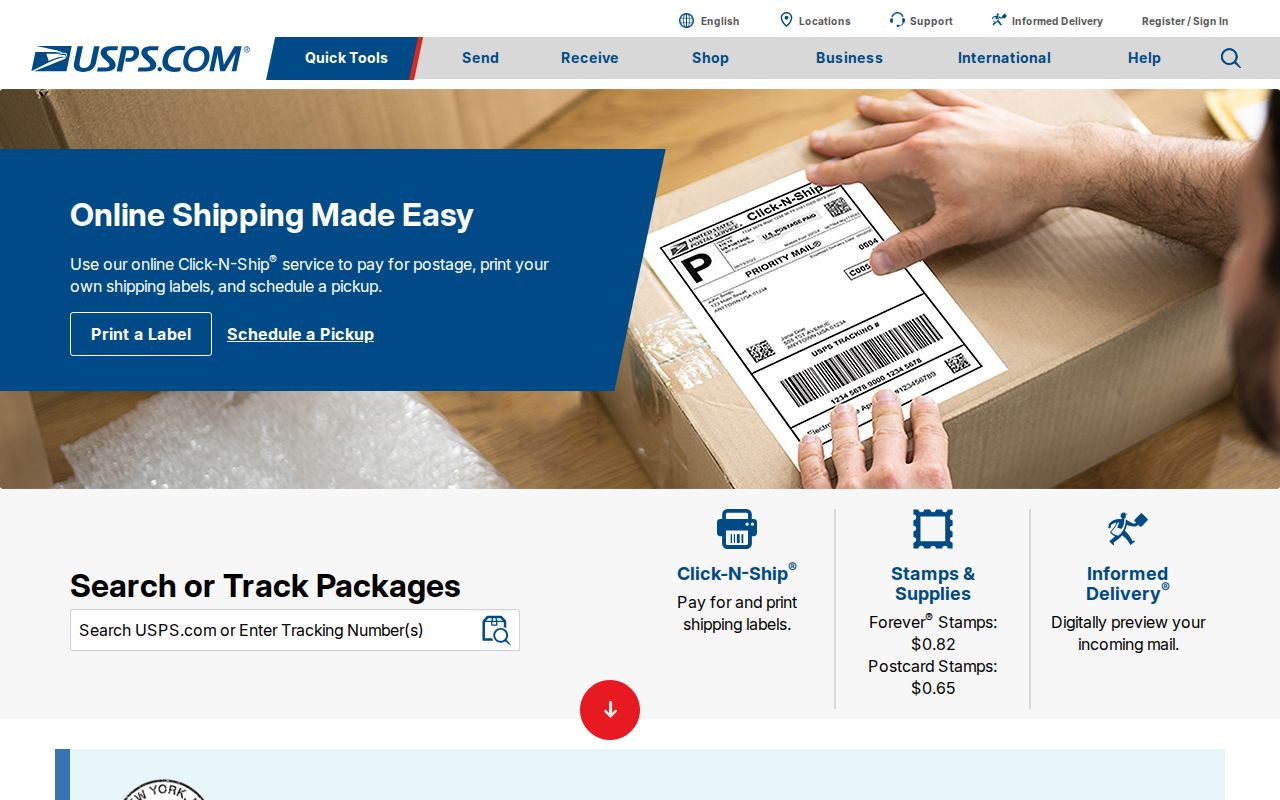
The postal gateway is useful for finding the address-verification route, while the city GIS layer supplies the separate corporate-limit context.
ZIPs can extend beyond Lynchburg because the city is independent and adjacent to Campbell County. An address that crosses the city line belongs with the appropriate clerk, assessor, and court for that jurisdiction. The mail city by itself does not decide which local office holds the record.
Check Lynchburg Postal Codes
Use the official USPS address lookup before filtering any local map or parcel records. It has separate paths for an address, a city and state, and cities by postal code. For a specific property, the address tab is the practical choice because it standardizes the street and can return a ZIP+4 result. A USPS result confirms how the Postal Service standardizes the address. It does not confirm that a person or company is at that address.
| USPS field or tab | Type | Required | Use in a Lynchburg check |
|---|---|---|---|
| ZIP Code by Address | Tab | No | Use for one street address; company is optional. |
| Street Address | Text | Yes | Enter the address USPS should standardize. |
| Apt/Suite/Other | Text | No | Add the unit line when applicable. |
| City and State | Text and select | Required for city/state search | Use Lynchburg and Virginia, then compare the result with the parcel location. |
| Cities by ZIP Code | Tab | ZIP required | Checks the city label associated with a five-digit ZIP. |
| Find | Button | Yes to run | Returns the standardized ZIP and city result. |
The USPS lookup form shows the address, city/state, and ZIP search choices.
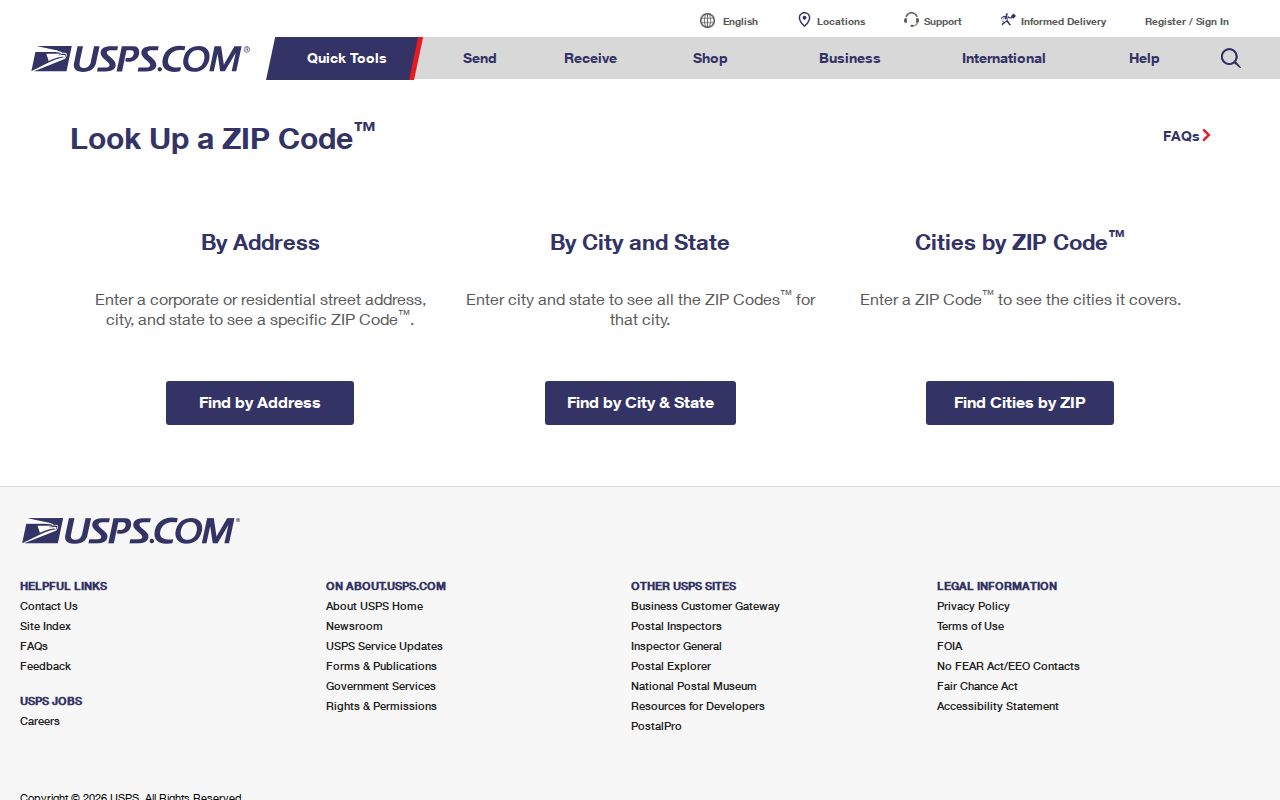
Keep the standardized postal output beside the date of the check. A later parcel, voter, or directory record may use a different historical address form.
Lynchburg ZIP GIS Fields
The city GIS gives a different kind of postal-code evidence. The public ZIP layer can be queried by code and mapped as a polygon inside Lynchburg's corporate limits. In the parcel layer, LocZip is the location ZIP field; the address layer has a concatenated address, house-number fields, street name, and ZIP-related data. These public layers help connect an address to a parcel or mapped location. They are not a full postal address inventory or a complete resident directory.
The Parcel Viewer feature layer exposes fields including location ZIP, owner labels, parcel ID, and location-address components.
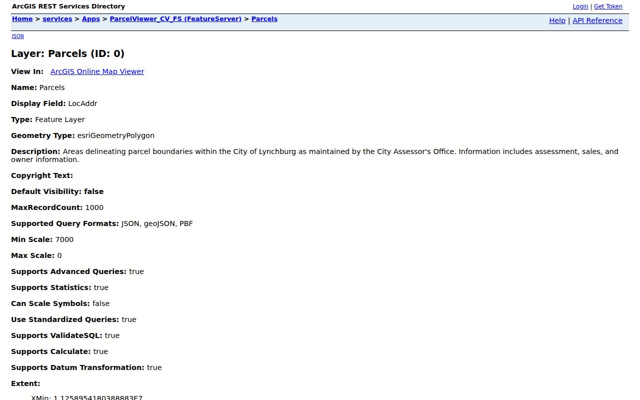
Querying a parcel by location ZIP is a way to narrow mapped property results. Do not turn owner labels into a claim about who lives at an address.
The street layer adds left and right address ranges, left and right ZIP ranges, street aliases, jurisdiction, and road-life-cycle fields. If a current street name fails, check Alias before deciding the ZIP or address is wrong. The redesigned Parcel Viewer replaced the earlier viewer after an October 6, 2025 cutoff, but its live search field labels were not exposed in the research text. Use the documented GIS fields rather than promising an unverified in-app filter.
Search Lynchburg ZIP Directory
A ZIP can narrow an address workflow, but it does not produce a complete list of residents. Start with USPS, then use city GIS to place the address or parcel. The statewide voter portal is for one person's registration status and does not list ZIP as a public portal search field. A full voter-file request uses locality, district, election, and date-oriented filters, with statutory limits and eligibility conditions. Keep ZIP, parcel, voter, and directory results as separate evidence types.
- Enter the exact street address in the USPS address tab and save the standardized five-digit ZIP or ZIP+4 result.
- Check the city ZIP polygon to see whether the mapped portion lies within Lynchburg's corporate limits.
- Use the Parcel Viewer or its public feature layer to match
LocZipwith the street, parcel ID, and mapped location. - For a person-specific question, verify through the appropriate official source and record its date and scope instead of treating the ZIP as proof of residence.
Once a postal area has been narrowed to a named street, the Lynchburg By Street directory has the fuller parcel, deed, and street-alias route. It uses address-keyed records rather than ZIP geography alone.
Lynchburg ZIP Limits
ZIP boundaries and Lynchburg city limits answer different questions. The local GIS ZIP polygons are clipped to the city, while a USPS ZIP may cross the corporate boundary. A 24503 delivery label can extend beyond the city line, and 24513, 24515, or 24551 appear only as small areas in the local map layer. Codes 24505 and 24506 appear in USPS label material without a verified city-limit area in that GIS layer. Check the exact address, parcel corporate-limit context, and jurisdiction before sending a records request.
- ZIP code
- A five-digit USPS delivery label. It can cross city or county lines and does not define a ward, parcel jurisdiction, or resident list.
- ZIP+4
- The extra four digits that may appear in a USPS address result. It refines postal delivery but does not change the local government records office.
- PO-box ZIP
- A postal code used for box delivery rather than a mapped city area. The research did not verify city-limit coverage for the nearby 24505 or 24506 label contexts.
- Unique ZIP
- A ZIP used for one institution or mail operation. No Lynchburg unique ZIP was verified in the source material.
- Carrier route
- A postal delivery-route grouping. It is not a city boundary, a voting district, or a list of people at addresses.
Lynchburg ZIPs, Wards, ZCTAs
ZIPs, wards, precincts, and Census ZCTAs should never be merged into one boundary. The local ward and precinct map can cross-check civic geography, but it does not prove voter registration. A ZIP can include several wards, and a voter record can be protected or use a designated mailing address. Census ZIP Code Tabulation Areas, called ZCTAs, are generalized statistical approximations rather than USPS delivery routes. A ZCTA population should not be presented as a count for a postal ZIP or for city residents.
Census guidance on ZCTAs explains why the statistical geography differs from USPS delivery geography.
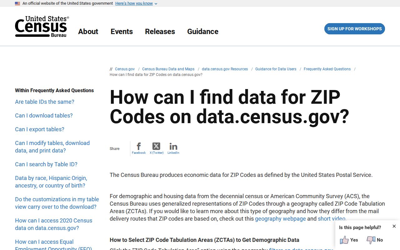
The Census explanation is a useful guardrail when comparing a postal lookup with an estimate, a ward map, or a city GIS polygon.
Lynchburg Parcel ZIP Caveats
A parcel has several labels that should remain distinct. The situs address is the physical parcel address in GIS or assessor data. An owner mailing address is where tax correspondence goes and can be outside the city, a P.O. box, an agent, or an estate address. A legal description is the lot, block, subdivision, metes-and-bounds wording, or exception used in a deed or plat. It often survives street renumbering better than street text. The ZIP is the postal delivery label attached to the location.
Lynchburg's city-clipped GIS ZIP layer is best read with the parcel, address, and street layers rather than by itself.
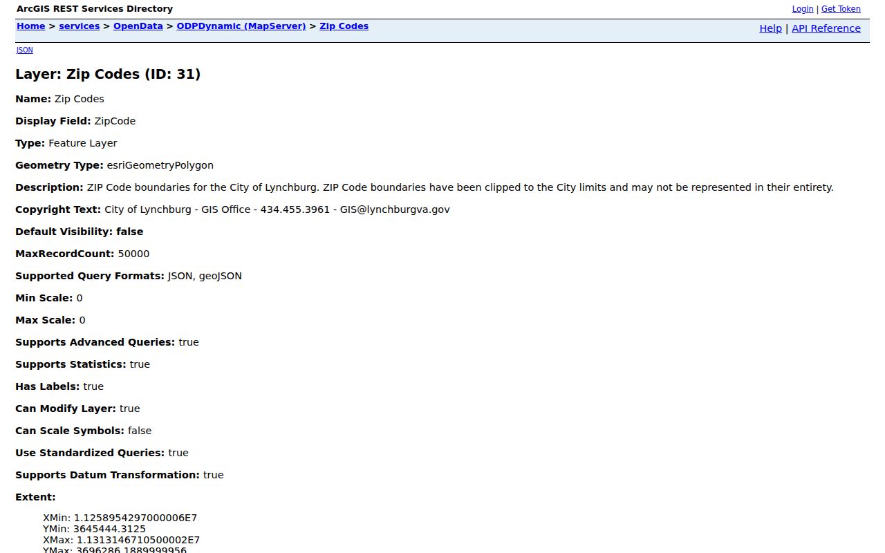
The map makes the city-clipped polygon visible, but the USPS lookup still decides the standard mailing ZIP for the exact address.
Lynchburg ZIP Count Context
The four primary USPS codes and the seven codes visible in the city GIS do not measure the same footprint. The postal audit's approximately 104,574 service population for 24501, 24502, 24503, and 24504 is broader than a city resident total. The GIS layer's seven values reflect clipped map polygons, including edge areas. Neither source becomes a resident count merely by adding ZIP labels together. Use a Census geography only when it is labeled as a ZCTA or another statistical area, not as USPS delivery data.
For Lynchburg address research, the reliable sequence is simple: verify the postal form, locate the parcel, identify the governing jurisdiction, and then use the custodian that holds the specific record. That preserves the difference between delivery geography and the city record trail.