
Lynchburg Neighbors by Block
Public sources describe parcels and civic geography around a Lynchburg address, not a complete list of the people in each home. The parcel map is the fastest way to identify adjoining lots and the owner fields attached to them. Deeds and plats explain the recorded lot, easement, or right-of-way. Historical directories can place an occupant at an address in a particular year. Voter information is a limited and protected civic layer. Use each source for its specific purpose, then preserve the source date beside the result.
| Source | What It Shows About a Block | Access |
|---|---|---|
| GIS parcel map | Adjacent parcel polygons, Parcel_IDs, location addresses, owners, and legal lots | Free map and ArcGIS query; not a household-completeness source |
| GIS address layer | Physical address points, house numbers, and street names | Free ArcGIS REST layer with an incomplete-inventory warning |
| Deeds and plats | Subdivision, lot/block, common grantors, easements, and rights-of-way | Circuit Clerk, SRA, and Library of Virginia routes |
| Voter list | Limited registered-voter fields for a lawful request | Registrar or state request process; protected fields omitted |
| City directories | Historical address, occupant, and business context by year | Jones Memorial Library and digitized runs |
| Neighborhood Watch | Civic safety-group and coordinator context | LPD guidance, not a member roster |
Recorded owner and present neighbor are not interchangeable. An owner can use a different mailing address, and a parcel may contain more than one unit. Treat a map result as a lead that needs the proper record type for confirmation.
For a legal-boundary question, the map is not the final answer. The GIS service describes its information as changing and not a survey or legal representation. Compare the parcel outline with the recorded plat or deed, especially where an easement, irregular lot line, or old subdivision boundary makes the map relationship uncertain.
Map Lynchburg Neighbors Parcel by Parcel
Begin at the target address in the new Parcel Viewer or the city address layer. The intended method is a small-radius check of immediate parcels, not a street-wide directory. Record the Parcel_ID and location address first. Then inspect the map labels, nearby parcel boundaries, and recorded deed or plat if the legal relationship matters. A road, alley, rail corridor, vacated right-of-way, condominium unit, or parcel exception can make the closest visible label different from the legal adjacent parcel.
- Search the target address in the Parcel Viewer or address layer.
- Identify its polygon and Parcel_ID, then use the identify or select tools on surrounding polygons.
- Record each neighboring Parcel_ID, location address, and owner field, plus the layer date.
- Check ZIP, ward, precinct, neighborhood, zoning, and historic-district layers as context rather than proof of residence.
- Use the deed or plat for recorded interest and legal-lot questions.
The city address-inventory GIS layer is a source for physical address points and street fields.
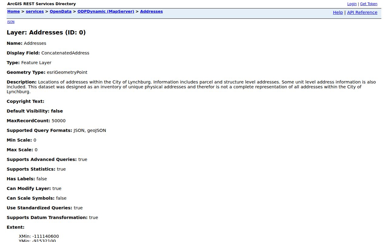
The address inventory links a location to the map, but it is expressly not a complete household roll. For a full named-street record chain, use the Lynchburg by-street directory.
For a historical block, pair the modern parcel with Sanborn maps, a directory residence line, deeds or plats, and the annexation layer. Street aliases and a citywide 1882 renumbering can break a modern-number-only search. Keep the old number, former street name, cross street, and legal description in the research notes rather than forcing an immediate match.
Lynchburg Neighbors Map Context
One block can sit in several overlapping geographies. The city GIS layers distinguish ZIP, ward, precinct, neighborhood planning area, historic district, school-attendance area, and annexation date. Those categories should not be collapsed into one label. A parcel neighbor may not share the same ZIP or civic district, and a same-ward address may not be physically adjacent. For a technical query, the public ArcGIS service supports geometry, distance, and pagination parameters, but research did not verify a one-click live "show neighbors" tool in the JavaScript viewer.
The Lynchburg ward and precinct map offers address search and displays polling-place and district information.
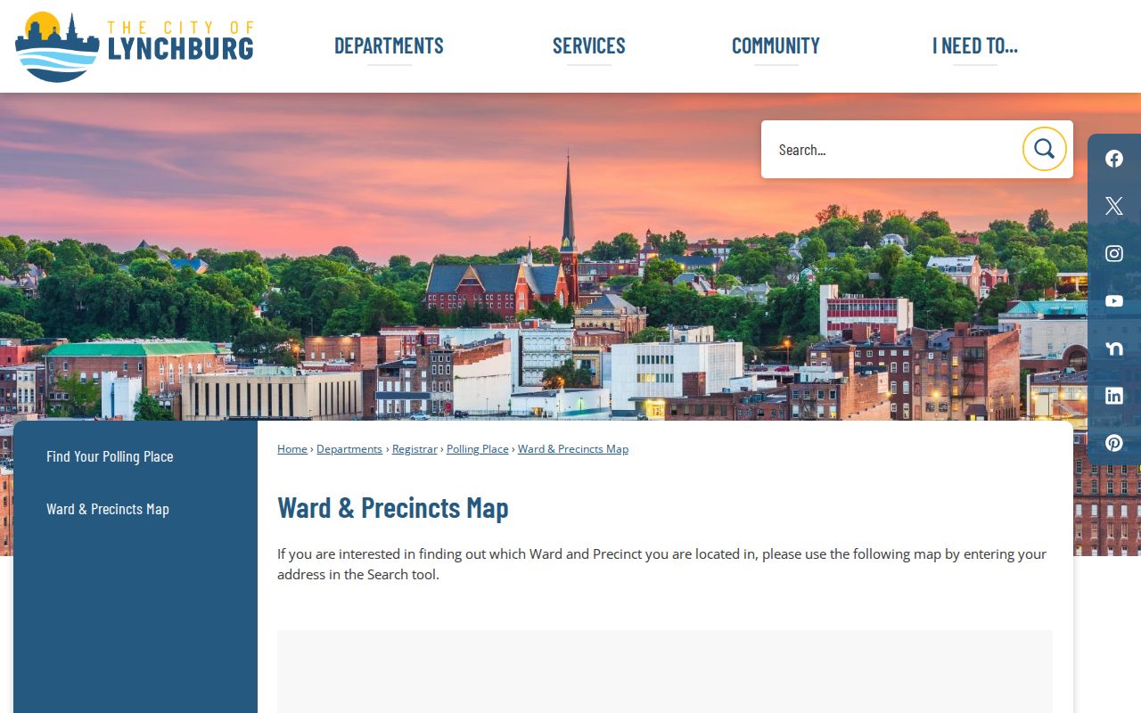
Use the ward and precinct result as a geographic cross-check. It does not confirm a person's registration, current address, or household membership.
The parcel schema supplies location and owner fields such as Parcel_ID, LocAddr, LocZip, Owner1, and Owner2. The address layer has ConcatenatedAddress, HouseNumber, HouseNumberSuffix, and StreetName. Those are map and ownership labels. They should not be relabeled as a list of all people connected with a Lynchburg address.
Lynchburg Neighbors Civic Contacts
Civic contacts can help identify a public meeting, preservation project, or neighborhood context without turning private membership into a directory. Lynchburg research found no official citywide neighborhood-association or HOA member roster. The available public routes are a Neighborhood Watch coordination page, the city boards directory, and the staff directory. They are useful for civic questions and public contacts, not proof that a person belongs to a group.
Neighborhood Watch
LPD reported 32 active groups as of January 2020 and provides coordination and reporting guidance. It does not publish member names.
Boards and Commissions
The city directory includes the Historic Preservation Commission and Lynchburg Community Council or MLK Jr. Community Council as public civic routes.
City Staff Directory
Search city departments for GIS, Planning, Inspections, Registrar, and other public offices when a record needs its actual custodian.
The Lynchburg Police Neighborhood Watch page is the source captured for the public safety-group route.
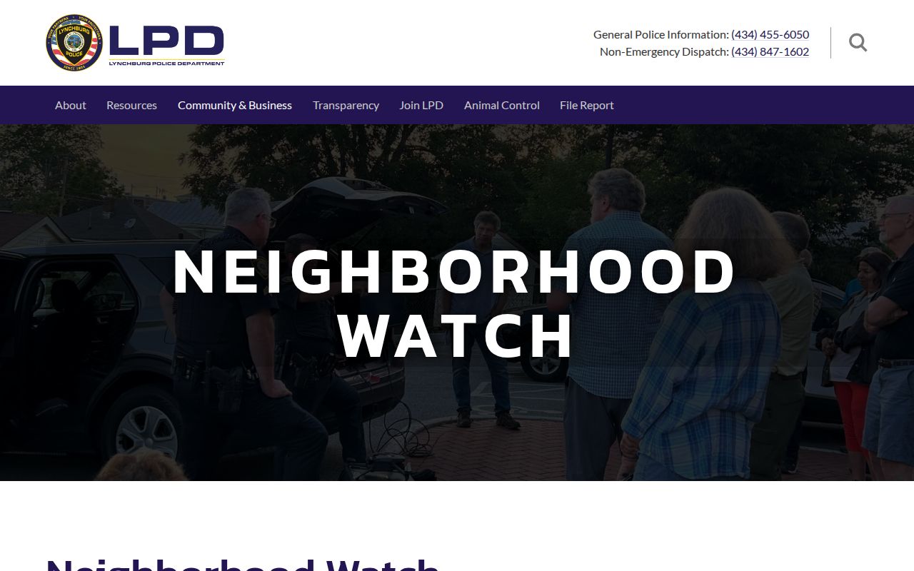
Neighborhood Watch supplies civic context and a coordinator path, not a list of homes or members.
The Lynchburg Boards and Commissions directory identifies public civic and preservation bodies.
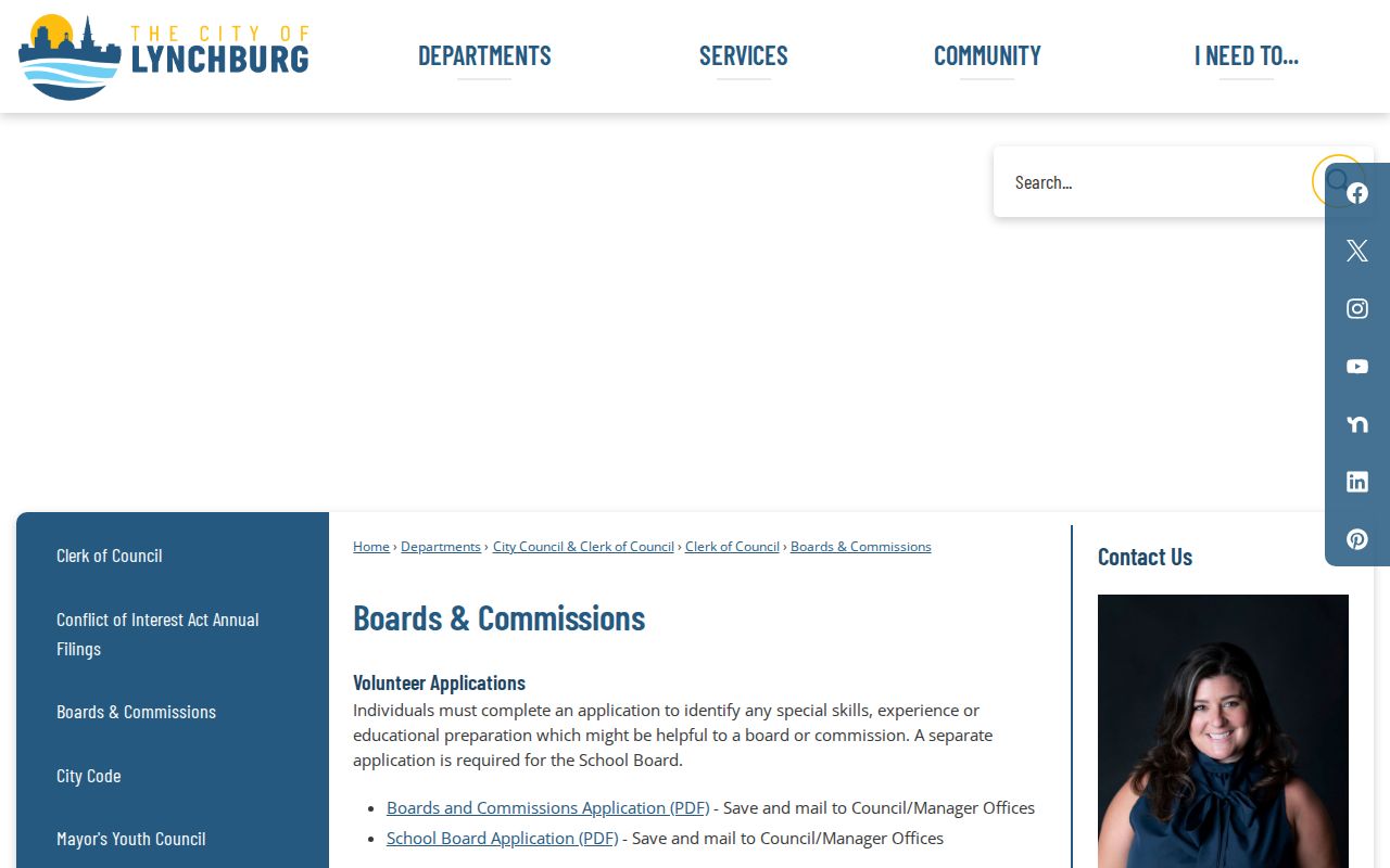
Historic and civic names help interpret an area, but they do not establish private membership or an address list.
The Lynchburg city staff directory supports agency-level contact searches.
Use the staff listing to reach the right office for a parcel, GIS, planning, or election question rather than guessing from a map label.
Lynchburg Neighbors Voter Limits
Virginia's citizen portal is designed for an individual registration or polling-place check, not a block export. Va. Code §24.2-444 makes limited voter-list fields public, while Social Security numbers, full dates of birth, protected addresses, and other registration material are closed. A protected voter may have a designated mailing address or no public residence address. The registrar or Department of Elections request process has eligibility and use terms, so do not infer a complete block from a portal result or a requested list. Virginia does not use ordinary registration as a permanent party-affiliation field.
The Lynchburg General Registrar page provides the local election-office route.
The local office can explain election-record procedures, but a registration result remains dated civic evidence rather than proof of current occupancy.
A lawful full-list request is a controlled process with requester, contact, client-type, product, and locality fields. The research did not establish a complete fee or delivery-format schedule, so do not promise a spreadsheet or price. Never republish a voter ID, full birth date, protected address, or ballot choice.
Historic Lynchburg Neighbors Layers
Federal Hill, Diamond Hill, Garland Hill, Pierce Street Renaissance, Daniel's Hill, Courthouse Hill, Upper, Lower, and Middle Rivermont appear in city planning or preservation material. Those names can explain why a historic directory entry uses a neighborhood label rather than a numbered street. For an older block, compare a Sanborn footprint, a directory residence line, the deed's legal lot, and the annexation layer. A directory business listing is business or occupant context, not automatic evidence of a household.
Note: Keep the historic neighborhood label alongside the modern parcel description when comparing records from different years.
Annexation is another record clue. The GIS layer lists dates from 1786 through 1976, so a physical block can carry older boundary context that differs from its present city description. Historic directories can also use a neighborhood-only label, such as Madison Heights, instead of a street number. Preserve both descriptions while checking the map and deed trail.
Lynchburg Neighbors Tool Comparison
Official records and commercial neighbor-lookup categories serve different purposes. A commercial result may combine public records, marketing data, and older directory material, but can carry stale or wrongly matched information. It also cannot lawfully fill the gaps created by protected addresses, utility-account confidentiality, or unlisted household members. For a material fact, return to the GIS office, Circuit Clerk, Registrar, or civic organization that holds the source record.
| Category | Best use | Limit |
|---|---|---|
| Official GIS and clerk records | Parcel geometry, owner fields, deeds, and legal boundaries | Does not identify every household member or prove present occupancy |
| Registrar and civic sources | Limited election information and public neighborhood context | Protected voter data and private rosters remain unavailable |
| Commercial lookup category | A possible lead to verify with a custodian | May be stale, mismatched, paywalled, or hard to correct |
When an official result looks incomplete, use the documented fallback rather than filling the gap with a commercial profile. The Circuit Clerk can address a deed or plat question, the GIS office can explain a map layer, the Registrar can explain voter-list access, and a neighborhood organization can identify a public contact or meeting. Each route keeps the result tied to the office responsible for it.
Lynchburg Neighbors Privacy Limits
Virginia's Address Confidentiality Program can shield an eligible participant's actual address, and protected-voter rules limit public election data. City exemptions also protect utility accounts, library patron records, social-services information, complaint-maker contacts, individual tax returns, and protected email addresses. The Driver's Privacy Protection Act separately restricts motor-vehicle personal information. Map clicks, a deed chain, and a civic directory cannot be used to bypass those boundaries. If a record needs correction, contact the custodian with the record number and supporting proof instead of repeating an unverified result.
Lawful use. Use Lynchburg neighbor records for personal, lawful civic or property research. Surveillance, intimidation, unwanted contact, and harassment are not permitted uses of public information.