
Lynchburg Street Directory Walkthrough
A sound street-by-street search separates geography from people evidence. First find the physical location in the city parcel or address layer. That step supplies a parcel identifier, street form, and often a legal lot, block, or subdivision reference. Next, use the assessor ownership roll for the recorded owner, then the Circuit Court Clerk's deed route for the transfer trail. A person should be attached to the location only when a person-bearing source supports it.
- Search the address in the City Assessor's Parcel Viewer and save the property address, Parcel_ID, and owner label.
- Open GIS layers to check boundaries, adjacent lots, ZIP, ward, precinct, neighborhood, and any street alias.
- Use the owner as a grantee in the deed index, then record the legal description and book/page or document number.
- Compare a lawful voter-list route or a Jones Memorial Library directory entry for a separate occupancy-era clue.
- Keep a source date beside every result, because a tax roll, deed, directory, and permit describe different moments.
This order prevents a parcel owner from being silently presented as a resident. It also makes correction easier when the property is an estate, a business mailing point, or an address that has changed.
Lynchburg Street Search Fields
The City Assessor points property searches to the Parcel Viewer, which advertises owner-name, property or location-address, and parcel searches. The accessible ArcGIS schema supplies the map's field vocabulary. It does not establish a fixed display order for the current JavaScript application.
| Search field | What it locates | Format or limit |
|---|---|---|
| Owner name | Recorded ownership clue | Advertised text or autocomplete search; live matching rules are not published. |
| Property or location address | Situs parcel location | Use number, street, and unit where applicable. |
| Parcel number / Parcel_ID | Parcel record and map link | Public schema exposes Parcel_ID; viewer mask is not verified. |
| Map layers | Boundaries and local context | Property, zoning, flood, historic, neighborhood, ward, precinct, ZIP, and annexation layers. |
| ArcGIS query | Public parcel or address fields | Where, geometry, distance, offset, count, and selected fields are available in the REST service. |
The public parcel layer includes Parcel_ID, LocAddr, location-number and street components, LocZip, Owner1, and Owner2. Those fields identify a property record, not a household.
Lynchburg GIS Street Browse
The city street layer helps when an exact address search fails. Its fields include FullStreet, Alias, jurisdiction, private-road and life-cycle markers, plus left and right address and ZIP ranges. Search an alias before deciding a renamed street has no record. The wider Parcel Viewer also groups property information, legal lot and subdivision fields, historic districts, flood data, neighborhood areas, wards, precincts, and annexation dates.
Run a geography pass first, collecting the street spelling, returned parcels, and map context. Then run a person pass using the appropriate owner, deed, directory, or limited civic record. This avoids making a map of parcels look like a household roster.
Lynchburg's street GIS layer exposes street aliases and range fields that can clarify a by-address result.
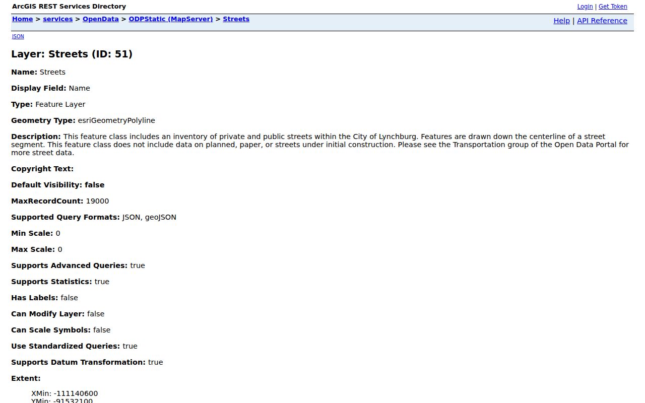
The layer is a routing and context tool, not a legal survey or a household roll.
Lynchburg Street Records by Address
Several Lynchburg systems share an address but answer different questions. The assessor keeps an annual alphabetical ownership tax roll from July 1 through June 30 and reassesses parcels biennially. The clerk keeps recorded land records. The library's annual directories preserve historical residence lines. Each source needs its own caution, particularly when the task is to distinguish title from occupancy.
| Address record | What it can show | Lynchburg access and caution |
|---|---|---|
| Assessor / Parcel Viewer | Owner, situs address, parcel, assessment characteristics | Free city search; owner and situs are different fields. |
| GIS parcel and address layers | Boundary, location components, ZIP, district, parcel link | Free map and query service; address inventory is incomplete. |
| Deed index | Grantor, grantee, legal description, dates, book/page, plats | Clerk, SRA, and Library of Virginia routes; SRA images begin in 1956. |
| City directories | Historic residence lines, household notation, occupation, neighborhood | Jones Memorial Library print and digital material; omissions and OCR errors occur. |
| Permits | Parcel/location, legal owner, applicant, work and cost | eTRAKiT route; public historical range was not verified. |
For a legal question, take the book and page or document number back to the clerk. For house history, keep the directory occupant, deed owner, census household, and permit applicant in distinct columns.
Lynchburg Street Directory History
Jones Memorial Library holds a continuous printed Lynchburg city-directory reference run from 1873 forward, and LynchburgHistory makes selected early scans available. The 1909 sample entries show why the residence line matters: r marks a residence, spouse names may appear in parentheses, occupations are abbreviated, and a neighborhood can replace a numbered street. Those conventions can support a historic occupant search, but none proves ownership or current residence.
Use the scan, not OCR alone. A 1909 line rendered as “74i Federal” illustrates how a digitized character can misread an address. Check nearby entries, surname variants, initials, street aliases, and the volume's abbreviation key. The historical collection is explored in depth through the Lynchburg city directories.
- Parcel
- A mapped unit of land identified in the city property system, often by Parcel_ID.
- Situs address
- The physical parcel address, which can differ from tax correspondence.
- Plat
- A recorded map referenced by a deed that can locate a lot, block, or subdivision.
- Criss-cross directory
- An address-oriented reading of directory entries that can identify historic occupants by residence line.
Lynchburg Street Renumbering
Local LynchburgHistory material identifies a broad city renumbering in 1882, associated with free-mail service. The linked conversion material was not retrievable in one automated step, so the date is a warning to verify, not a conversion formula. An older directory can use a former street name, a pre-renumber house number, or a neighborhood label such as Madison Heights.
Bridge a mismatch with cross streets, a grantor or grantee name, the legal description, a plat, a Sanborn map, and the directory year. City Code Chapter 35, Article VII now governs number assignment. Its provisions distinguish streets in place on August 1, 1977 from later-annexed areas. GIS annexation layers show dates from 1786 through 1976, which can change the municipal context of a physical block.
Note: Record both historic and modern wording until a parcel or recorded plat confirms that the two addresses describe the same place.
Lynchburg Permit Records by Street
Permits date work at a property, not who lived there. The city's eTRAKiT portal is the current public permitting route. The construction application calls for a Parcel ID or PIN, property location, legal owner, work description, cost, area, stories, use, and completion estimate. A permit can complement a parcel and deed trail, while the applicant might be a contractor or owner representative.
The Lynchburg eTRAKiT portal is the public entry point for current permitting and inspections.
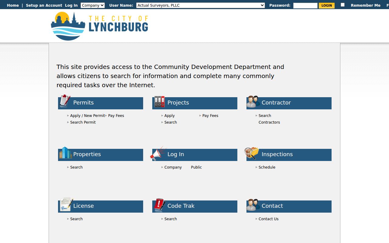
Use a permit date as evidence that work was proposed or recorded, then confirm an occupancy statement with another person-bearing source. The Finaled Permits layer may retain permits for only 14 days, so it is not a historic archive.
Lynchburg Street Permitting Office
The Permitting and Inspections office explains the current permit route, registration, fees, and contacts. City material gives review targets of 10 working days for residential work and 15 days for commercial work, but those targets do not establish how long earlier permits are retained or which historic results are online.
Lynchburg Permitting and Inspections supplies the city-side context for address information carried into eTRAKiT.
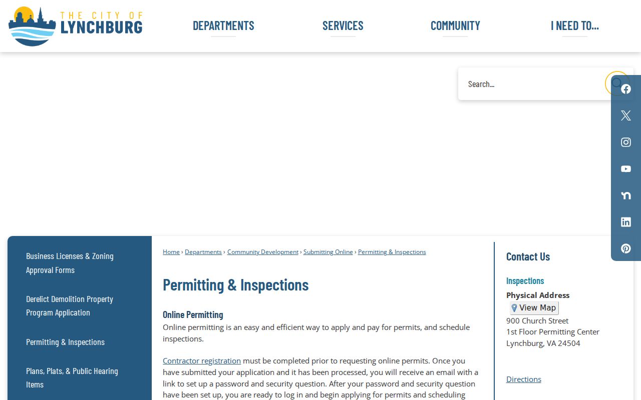
Ask the office about a specific address and record range when older work matters, rather than assuming a current portal contains the complete archive.
Lynchburg Deed Records Fallback
Lynchburg is an independent city, not part of Campbell County for a city parcel. The Lynchburg Circuit Court Clerk is the local land-records custodian. Its deed page places the local series from 1805 forward. Virginia Secure Remote Access, or SRA, offers deeds and land records from 1956 forward to subscribers, while the Special Index includes grantor and grantee books for 1937 through 1978. SRA is inquiry-only, requires a notarized agreement and payment, and does not replace the official record.
For older work, use the clerk's public research room and the Library of Virginia guide. The record trail includes deed books A through Z for 1805 through 1872, AA through II for 1872 through 1884, and grantor indexes from 1805 through 1935. A certified clerk copy is the fallback when legal reliance or a plat question matters.
Lynchburg Street Voter Limits
A voter record is a limited civic layer, not a street-wide household roster. Virginia law allows limited fields in a lawfully requested list, including name, address, year of birth, gender, and districts, while protecting Social Security numbers, full dates of birth, protected addresses, and other registration material. The individual Virginia Department of Elections Citizen Portal is not a public browse-all-addresses tool.
Protected voters and Address Confidentiality Program participants can have a designated mailing address or no displayed residence address. Do not treat a missing result as proof that nobody lives at an address. Ballot choices are not part of this street research route.
Lynchburg Owner and Situs Fields
A street result becomes misleading when it blends three separate facts. The situs address identifies where a parcel is located. The owner field identifies the name carried on the ownership record. A mailing address identifies where tax correspondence is sent. The last can point to an estate, agent, business, P.O. box, or a different city. None of those fields alone identifies every person who occupies the building.
The city GIS schema uses fields such as LocAddr, LocCity, LocZip, Owner1, and Owner2. The address inventory has house-number, suffix, and street-name components, while the street layer has aliases and left and right address ranges. Compare those map clues with the current tax roll and a deed before treating a nearby label as an ownership conclusion. A unit field can also matter when one parcel serves more than one dwelling.
If the research question is who lived there in an earlier year, shift from the ownership field to a dated directory, census snapshot, obituary, or other person-bearing record. Keep its date and role beside the result so the street directory stays a trail of evidence rather than a merged list.
Street Directory Privacy Limits
Even when an address is visible on a map, many connected records stay private. Utility accounts, DMV personal information, zoning-complaint contact details, protected voter addresses, and some court or social-services materials are not public routes to identify a household. A short-term or unlisted occupant may leave no public address-keyed trail. The city address layer also warns that it is not a complete representation of every address.
Lawful use. Lynchburg street and address records are for personal, lawful research, property history, family history, and civic understanding. Do not use a record to stalk, harass, intimidate, or harm another person; Virginia law prohibits stalking and misuse of protected information.
Keep a source date and record type beside each result. That is more accurate than presenting a parcel owner, an old directory entry, or a public map point as a current household list.